No products in the cart.


The main aim of the project is to develop a system to detect the path holes and humps on roads.The proposed system captures the geographical location coordinates of the potholes and humps using a global positioning system receiver. The sensed-data includes pothole depth, height of hump, and geographic location and sending the data in message from using GSM modem.
GSM, which stands for Global System for Mobile communications, reigns (important) as the world’s most widely used cell phone technology. Cell phones use a cell phone service carrier’s GSM network by searching for cell phone towers in the nearby area. Global system for mobile communication (GSM) is a globally accepted standard for digital cellular communication.
The Global Positioning System (GPS) is a U.S. space-based radio navigation system that provides reliable positioning, navigation, and timing services to civilian users on a continuous worldwide basis -- freely available to all. For anyone with a GPS receiver, the system will provide location and time. GPS provides accurate location and time information for an unlimited number of people in all weather, day and night, anywhere in the world.
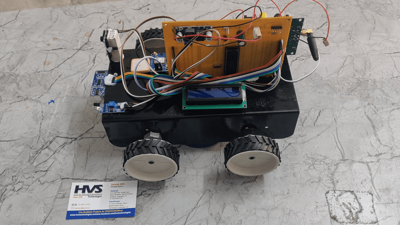
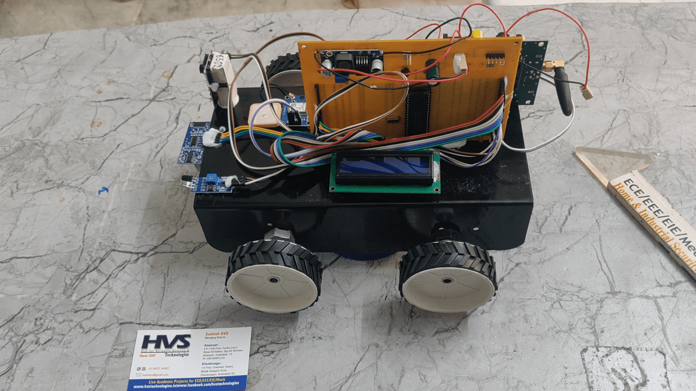
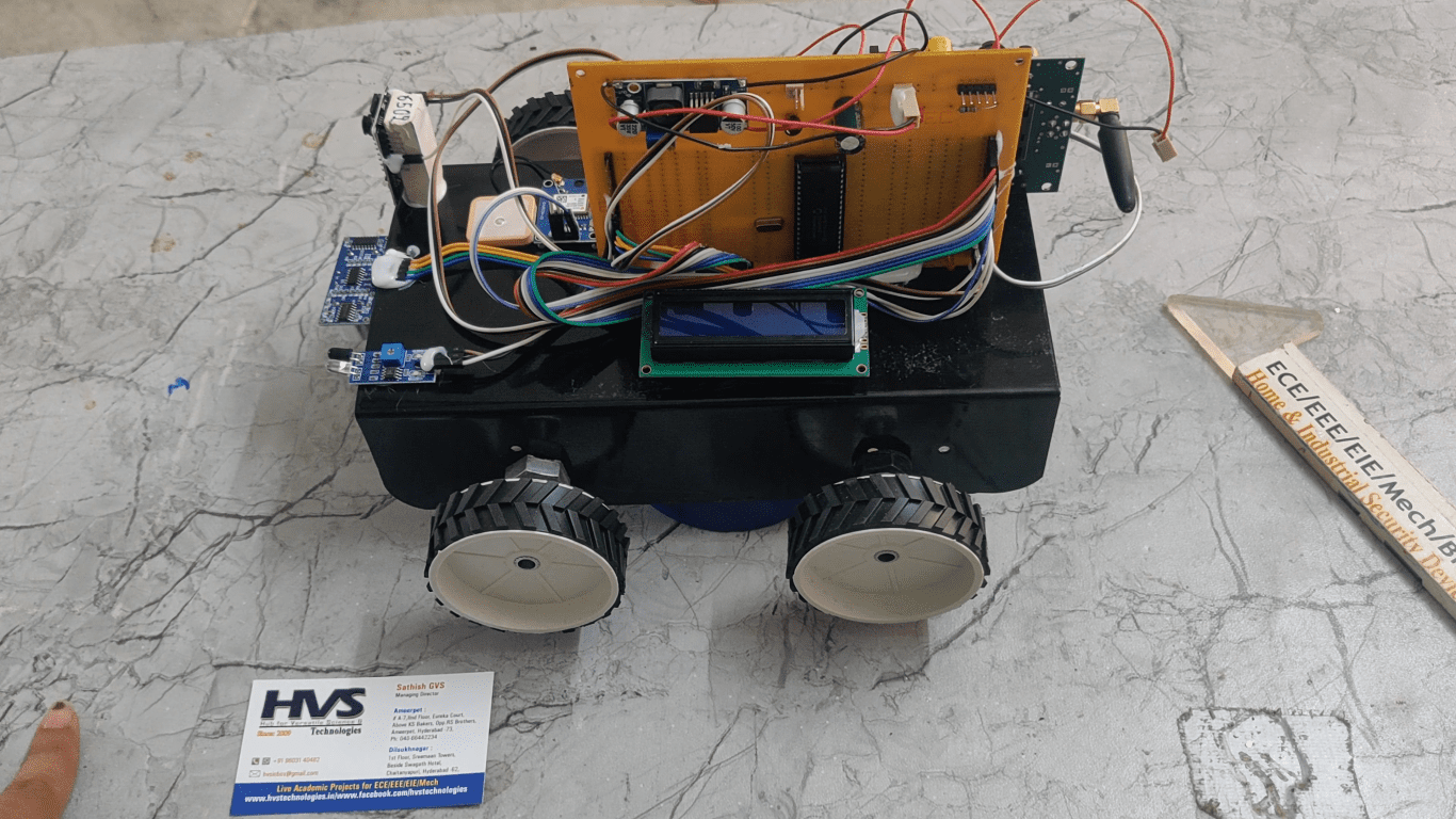
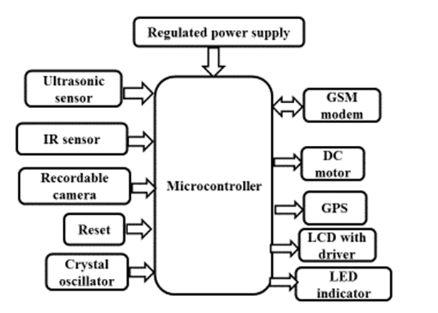
The main controller of the system is PIC microcontroller. The system consists of 6 components, namely, PIC microcontroller, ultrasonic sensors, recordable camera, IR sensor, DC motors GPS receiver and GSM modem. DC motors are used to move in pot holes directions. IR sensor is used to detect the obstacles such as vehicles by transmitting and receiving the light rays to avoid accidents. Ultrasonic sensors are used to measure the distance between the vehicle body and the road surface and this data is received by the microcontroller. Recordable camera used to take images and capture the video. The distance between vehicle body and the ground, on a smooth road surface, is the threshold distance. Threshold value depends on the ground clearance of vehicles and can be configured accordingly. If the distance measured by ultrasonic sensor is greater than the threshold, it is a pothole, if it is smaller, it is a hump otherwise it is a smooth road. The GPS receiver captures the location coordinates of the detected pothole or the hump and sends messages to the registered mobile SIM usingGSM modem.
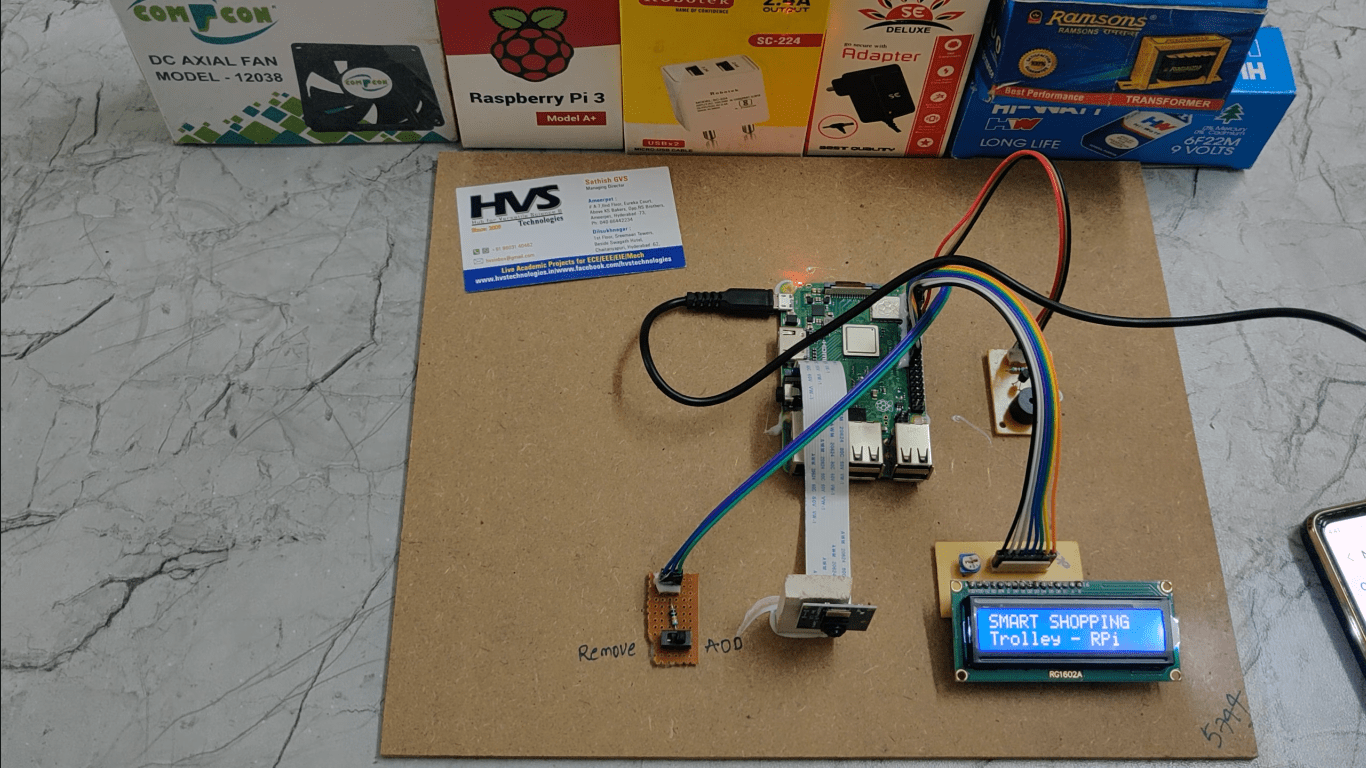
The Major Building blocks of this project are:
 video:
- Regulated Power Supply.
- Microcontroller
- GSM Modem.
- GPS module
- IR sensor
- DC motors
- Ultrasonic sensor
- Recordable camera
- Crystal Oscillator.
- PIC-C compiler for Embedded C programming.
- PIC kit 2 programmer for dumping code into Micro controller.
- Express SCH for Circuit design.
 video: